-40%
1946 US Army Map Palau Islands 1:12,500 AMS W854
$ 184.27
- Description
- Size Guide
Description
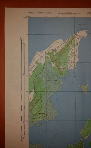
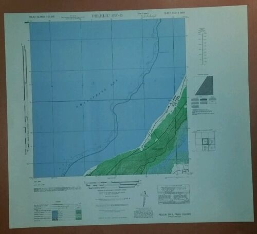
This sale is a set of five US Army Map of the Palau Islands, including the associated Index map and catalogue card. The index map shows the general location and the catalogue card describes the map.The maps are about 22" x 20” +/- and are at a scale of 1:12,500. They were printed in June 1946. A nicer set won't be found. They include (Sheet #; Title, Notes):
7331 I NW-A; Ngarmoked NW-A; Near perfect, with catalogue numbers written on a corner;
7331 I NW-D; Ngarmoked NW-D; Very good condition, edge issue on left with minor discoloration in margins;
7331 IV SE-A; Angaur SE-A; Near perfect with minor discoloration in margin; This map is 22x22;
7332 II SE-C; Peleliu SE-C; Near perfect; and,
7332 II SW-B; Peleliu SW-B; Near perfect.
These maps are guaranteed original. Free shipping is for US addresses via Priority mail and I will combine shipping. The ebay US Shipping Center will be used for shipping overseas. The purchaser will be responsible for shipping from there and all duties. If other shipping options are made available, the overseas shipping and any duties are still the responsibility of the purchaser. The maps will be shipped rolled in a sturdy mailing tube. Feel Free to ask any questions. {File: B8C}


