-40%
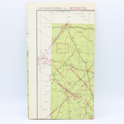
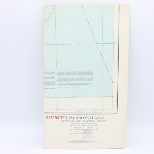
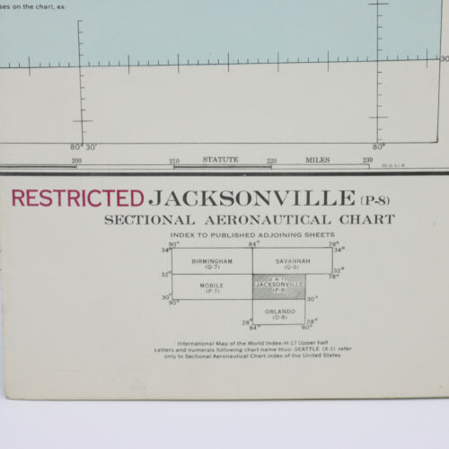
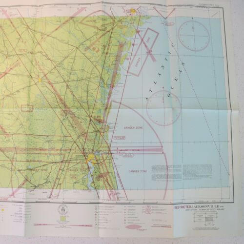
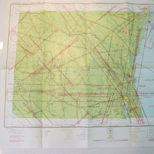
WWII RESTRICTED Aeronautical 1942 Radio Map Chart - Jacksonville Florida FL
$ 18.48
- Description
- Size Guide
Description
WWII RESTRICTED Aeronautical 1942 Radio Map Chart - Jacksonville Florida FLWWII RESTRICTED Aeronautical 1942 Radio Map Chart - Jacksonville Florida FL
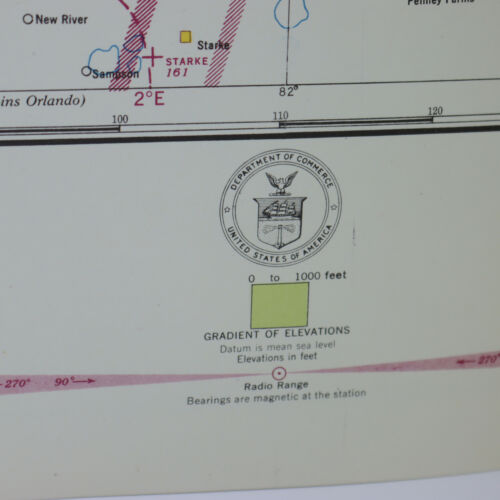
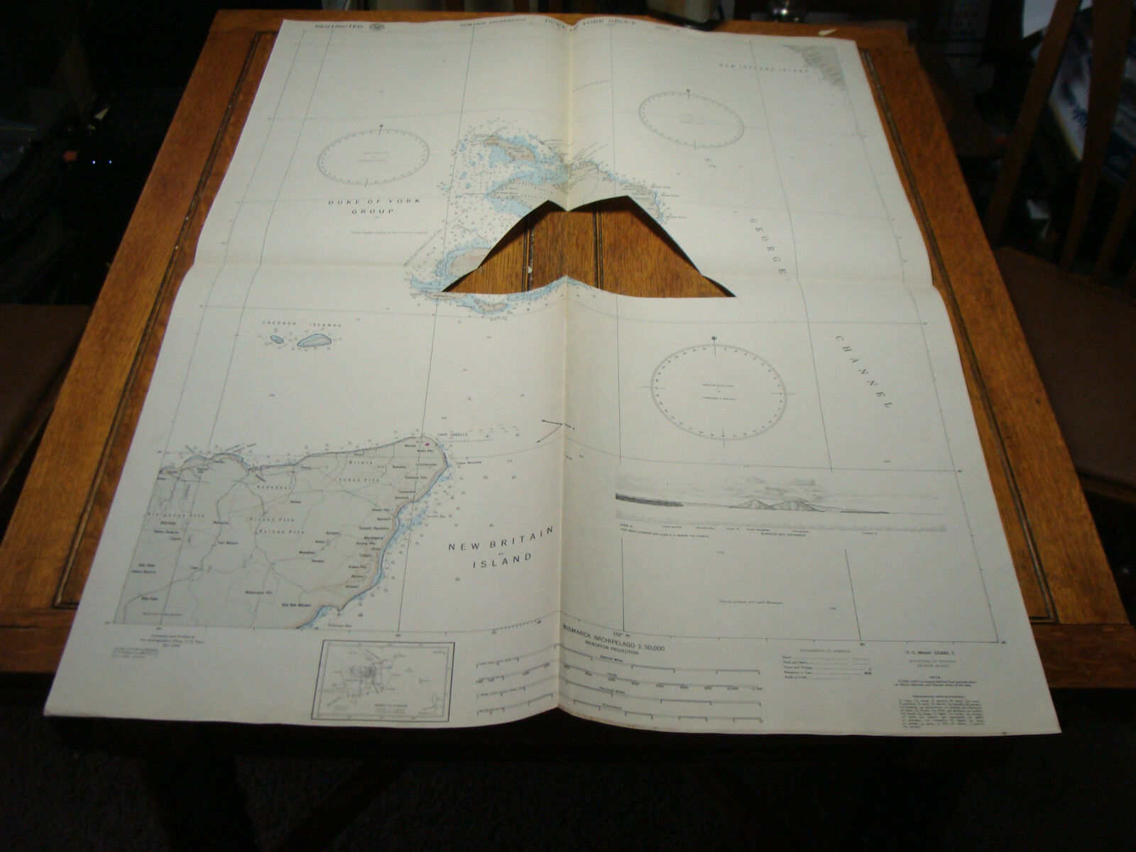
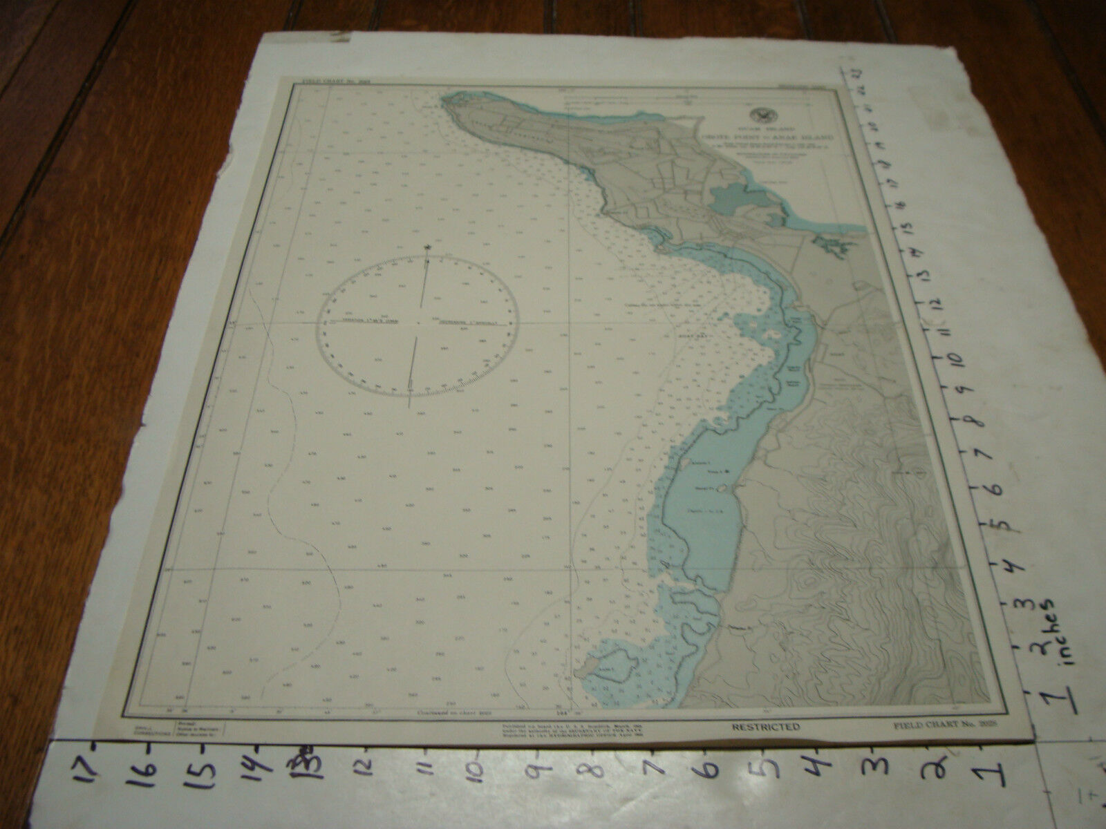
Vintage original United States aeronautical map of the Jacksonville, Florida area. Jacksonville, and the Florida/Georgia line is included on the map. Compiled at Washington, D.C. by the U.S. Coast and Geodetic Survey in 1942, this map dates to the WWII era.
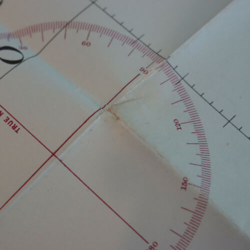
This map overall is in very good pre-owned vintage condition. It feels crisp and fresh, but there are some creases and one small hole.
Fully folded, the map measures just about 12" in length and 7" in width.
Map Scale: 1:500,000
